May 6, 2026
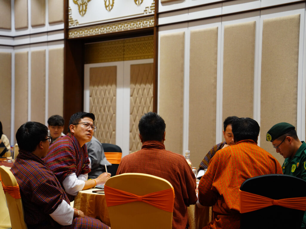
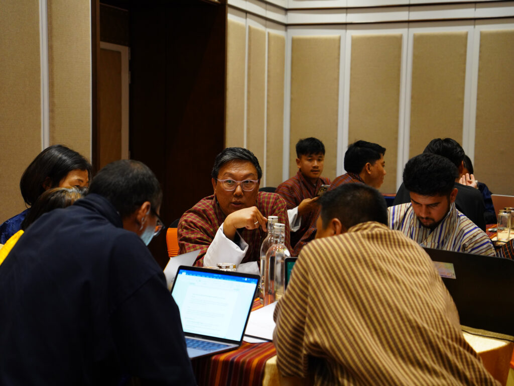
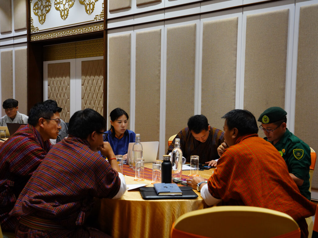
A two-day workshop brought together government agencies, technical experts, and development partners to explore how Planet satellite data and imagery can support Bhutan’s climate and environmental priorities.
Organized by the Bhutan Foundation in collaboration with the National Land Commission Secretariat (NLCS), and supported by Planet Labs PBC, the workshop introduced advanced earth observation tools and demonstrated their practical applications in environmental management and climate action.
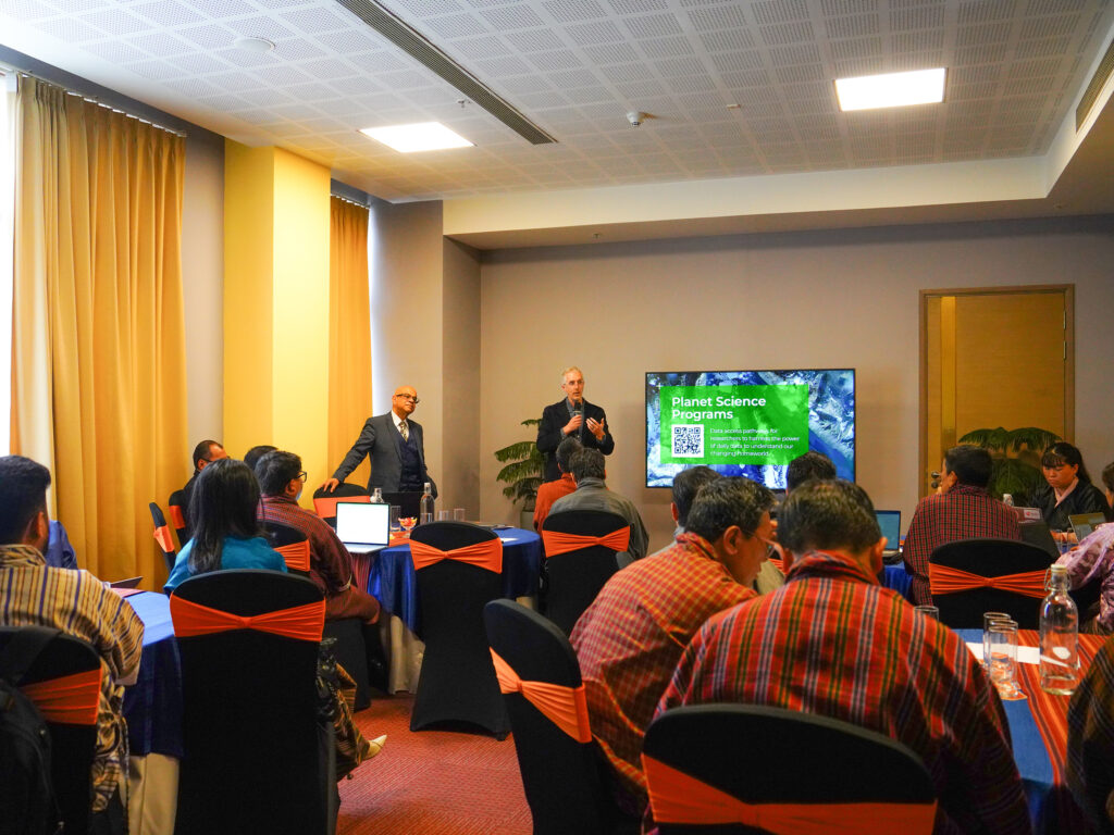
Led by experts from Planet Labs PBC, the sessions focused on building national capacity to effectively use satellite data and imagery in alignment with Bhutan’s environmental priorities and long-term sustainability goals.
Key areas of application included forest and biodiversity monitoring, water resource management, climate resilience and carbon accounting, and sustainable land use and urban development. These tools offer new opportunities to enhance data-driven decision-making and strengthen Bhutan’s efforts in conservation and sustainable development.
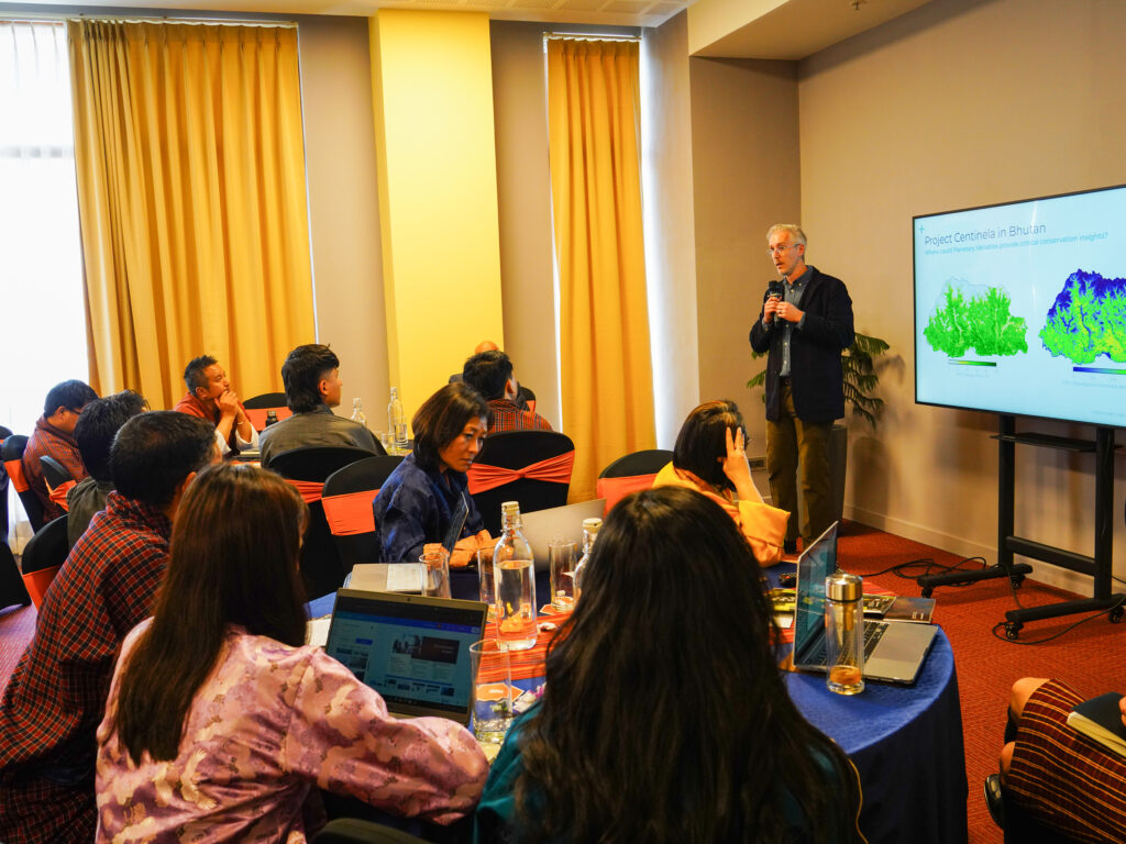
The workshop also helped identify priority institutions and potential use cases under Project Centinela, Planet’s global digital public good initiative supporting scalable, data-driven solutions for conservation and sustainable land management.
“I believe this will be highly beneficial for mapping in biodiversity conservation, forest resource management, as well as land-use classification and zoning for national projects,” said Mr. Sonam Wangdi, Chief Program Officer of the Bhutan Trust Fund for Environmental Conservation (BTF).
This initiative reflects Bhutan’s continued commitment to leveraging innovation and strengthening partnerships to advance environmental stewardship and sustainability.